 Cape Green
Current Status
Where is the vessel?
Cape Green is currently in Near Yeppoon, based on AIS data received about 14h ago.
Latest AIS update:
Current position: 23.25392° S, 151.33105° E (Near Yeppoon)
Average speed (last 7 days): Loading…
Average speed (last 30 days): Loading…
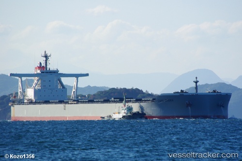
Vessel profile: Cape Green is a Bulk Carrier with dimensions 300m x 50m.
This page combines live AIS, route history, probable destination signals, nearby traffic, and port activity for practical vessel monitoring.
The current position of vessel Cape Green is -23.25392 lat / 151.33105 lng. Updated: 2026-05-22 10:08:01 UTCNearest reference points:
- 26 nm SE of North Richmond
- Near ROSSLYN
- Near Boyne Island
Currently sailing under the flag of Panama ![]()
Details:
Live Vessel Cape Green Analytics (details, animations, etc.)
Recent AIS points (UTC):
2026-05-22 06:06:43 UTC · -22.51017, 151.01436 · SOG 11.3 kn · COG 160°2026-05-22 07:32:10 UTC · -22.76798, 151.12402 · SOG 11.8 kn · COG 159°
2026-05-22 07:50:10 UTC · -22.82376, 151.14706 · SOG 11.9 kn · COG 159°
2026-05-22 10:08:01 UTC · -23.25392, 151.33105 · SOG 12 kn · COG 159°