 CLEAROCEAN MARIGOLD
Current Status
Where is the vessel?
CLEAROCEAN MARIGOLD is currently in 40 nm W of Cedros Island, based on AIS data received about 16h ago.
Latest AIS update:
Current position: 28.00708° N, 115.95559° W (40 nm W of Cedros Island)
Average speed (last 7 days): Loading…
Average speed (last 30 days): Loading…
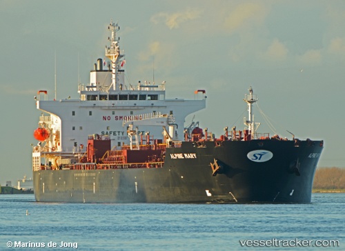
Vessel profile: CLEAROCEAN MARIGOLD is a Tanker with dimensions m x m.
This page combines live AIS, route history, probable destination signals, nearby traffic, and port activity for practical vessel monitoring.
The current position of vessel CLEAROCEAN MARIGOLD is 28.00708 lat / -115.95559 lng. Updated: 2026-05-19 23:28:57 UTCNearest reference points:
- 32 nm NW of Punta Baja
Currently sailing under the flag of Singapore ![]()
Details:
Live Vessel CLEAROCEAN MARIGOLD Analytics (details, animations, etc.)
Recent AIS points (UTC):
2026-05-19 20:05:55 UTC · 28.69407, -116.43310 · SOG 14.4 kn · COG 145°2026-05-19 22:01:13 UTC · 28.31617, -116.14788 · SOG 14 kn · COG 154°
2026-05-19 22:18:47 UTC · 28.25696, -116.10896 · SOG 14.1 kn · COG 153°
2026-05-19 23:28:57 UTC · 28.00708, -115.95559 · SOG 14.6 kn · COG 153°