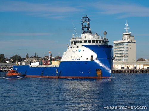
 SURFER TIDE
Current Status
Where is the vessel?
SURFER TIDE is currently in Near Bridge of Don, based on AIS data received about 14h ago.
Latest AIS update:
Current position: 57.18572° N, 2.04291° W (Near Bridge of Don)
Average speed (last 7 days): Loading…
Average speed (last 30 days): Loading…
Vessel profile: SURFER TIDE is a Other Type with dimensions m x m.
This page combines live AIS, route history, probable destination signals, nearby traffic, and port activity for practical vessel monitoring.
The current position of vessel SURFER TIDE is 57.18572 lat / -2.04291 lng. Updated: 2026-05-22 19:07:17 UTCNearest reference points:
- Near Aberdeen
- Near PETERHEAD
- Near Peterhead
Currently sailing under the flag of United Kingdom ![]()
Details:
Live Vessel SURFER TIDE Analytics (details, animations, etc.)
Recent AIS points (UTC):
2026-05-22 16:16:19 UTC · 57.18572, -2.04245 · SOG 0 kn · COG 127°2026-05-22 16:28:18 UTC · 57.18572, -2.04288 · SOG 0 kn · COG 105°
2026-05-22 17:49:18 UTC · 57.18513, -2.04303 · SOG 0.1 kn · COG 75°
2026-05-22 19:07:17 UTC · 57.18572, -2.04291 · SOG 0.1 kn · COG 127°