 CENTINELA I
Current Status
Where is the vessel?
CENTINELA I is currently in 21 nm W of Navidad, based on AIS data received about 16h ago.
Latest AIS update:
Current position: 33.90326° S, 72.25096° W (21 nm W of Navidad)
Average speed (last 7 days): Loading…
Average speed (last 30 days): Loading…
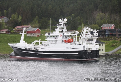
Vessel profile: CENTINELA I is a Fishing Vessel with dimensions m x m.
This page combines live AIS, route history, probable destination signals, nearby traffic, and port activity for practical vessel monitoring.
The current position of vessel CENTINELA I is -33.90326 lat / -72.25096 lng. Updated: 2026-05-20 23:47:24 UTCNearest reference points:
- 28 nm W of Pichilemu
- Near Valparaiso
- 100 nm W of Curauma
Details:
Live Vessel CENTINELA I Analytics (details, animations, etc.)
Recent AIS points (UTC):
2026-05-20 19:04:11 UTC · -33.53167, -72.35500 · SOG 12 kn · COG -1°2026-05-20 21:55:05 UTC · -33.88776, -72.31698 · SOG 12 kn · COG 89°
2026-05-20 23:11:26 UTC · -33.89896, -72.25132 · SOG 0.5 kn · COG 316°
2026-05-20 23:47:24 UTC · -33.90326, -72.25096 · SOG 0.6 kn · COG 308°