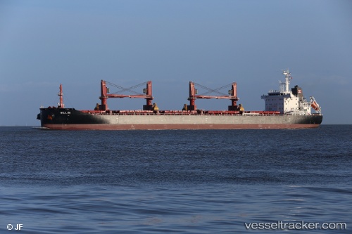
 AFRICAN CRATE
Current Status
Where is the vessel?
AFRICAN CRATE is currently in Near CHIBA, based on AIS data received about 14h ago.
Latest AIS update:
Current position: 35.60628° N, 140.08990° E (Near CHIBA)
Average speed (last 7 days): Loading…
Average speed (last 30 days): Loading…
Vessel profile: AFRICAN CRATE is a Cargo with dimensions m x m.
This page combines live AIS, route history, probable destination signals, nearby traffic, and port activity for practical vessel monitoring.
The current position of vessel AFRICAN CRATE is 35.60628 lat / 140.08990 lng. Updated: 2026-05-22 10:48:57 UTCNearest reference points:
- Near ANEGASAKI
- Near Aomi
- Near Kawasaki
Currently sailing under the flag of Bahamas ![]()
Details:
Live Vessel AFRICAN CRATE Analytics (details, animations, etc.)
Recent AIS points (UTC):
2026-05-22 07:30:56 UTC · 35.60632, 140.08994 · SOG 0 kn · COG 140°2026-05-22 07:48:58 UTC · 35.60632, 140.08990 · SOG 0 kn · COG 140°
2026-05-22 10:06:56 UTC · 35.60628, 140.08987 · SOG 0 kn · COG 140°
2026-05-22 10:48:57 UTC · 35.60628, 140.08990 · SOG 0 kn · COG 140°