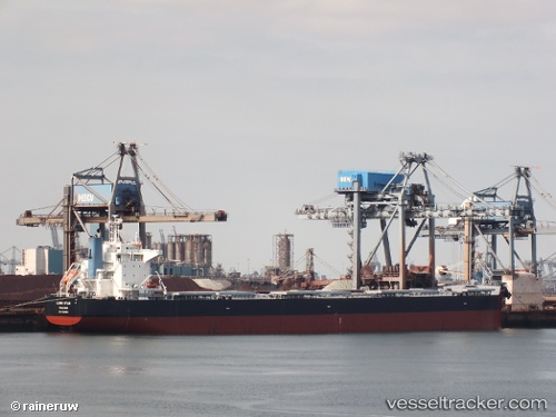
 LILA FUJI
Current Status
Where is the vessel?
LILA FUJI is currently in 100 nm NE of Trincomalee, based on AIS data received about 20h ago.
Latest AIS update:
Current position: 9.63308° N, 82.50443° E (100 nm NE of Trincomalee)
Average speed (last 7 days): Loading…
Average speed (last 30 days): Loading…
Vessel profile: LILA FUJI is a Bulk Carrier with dimensions m x m.
This page combines live AIS, route history, probable destination signals, nearby traffic, and port activity for practical vessel monitoring.
The current position of vessel LILA FUJI is 9.63308 lat / 82.50443 lng. Updated: 2026-05-18 18:09:14 UTCNearest reference points:
- 67 nm E of Oluvil
Currently sailing under the flag of Liberia ![]()
Details:
Live Vessel LILA FUJI Analytics (details, animations, etc.)
Recent AIS points (UTC):
2026-05-18 18:09:14 UTC · 9.63308, 82.50443 · SOG 10 kn · COG 186°2026-05-18 18:09:14 UTC · 9.63308, 82.50443 · SOG 10 kn · COG 186°
2026-05-18 18:09:14 UTC · 9.63308, 82.50443 · SOG 10 kn · COG 186°
2026-05-18 18:09:14 UTC · 9.63308, 82.50443 · SOG 10 kn · COG 186°