 vesseltracker.com
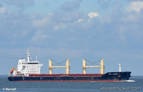
 WL LADOGA
Current Status
Where is the vessel?
WL LADOGA is currently in Near MACAPA, based on AIS data received about 14h ago.
Latest AIS update:
Current position: 0.05741° N, 50.98676° W (Near MACAPA)
Average speed (last 7 days): Loading…
Average speed (last 30 days): Loading…
Vessel profile: WL LADOGA is a Cargo with dimensions m x m.
This page combines live AIS, route history, probable destination signals, nearby traffic, and port activity for practical vessel monitoring.
The current position of vessel WL LADOGA is 0.05741 lat / -50.98676 lng. Updated: 2026-05-18 04:40:07 UTCNearest reference points:
- Near Santana
- 55 nm N of Tucuma
- 70 nm N of Tucuma
Currently sailing under the flag of Barbados ![]()
Details:
Live Vessel WL LADOGA Analytics (details, animations, etc.)
Recent AIS points (UTC):
2026-05-18 01:18:11 UTC · 0.05833, -50.98667 · SOG 0 kn · COG -1°2026-05-18 02:01:10 UTC · 0.05883, -50.98756 · SOG 0.2 kn · COG 215°
2026-05-18 04:01:06 UTC · 0.05844, -50.98750 · SOG 0.1 kn · COG 226°
2026-05-18 04:40:07 UTC · 0.05741, -50.98676 · SOG 0.2 kn · COG 267°