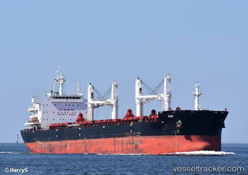
 AL WATHBA
Current Status
Where is the vessel?
AL WATHBA is currently in 12 nm N of Soúda, based on AIS data received about 14h ago.
Latest AIS update:
Current position: 35.71516° N, 24.18067° E (12 nm N of Soúda)
Average speed (last 7 days): Loading…
Average speed (last 30 days): Loading…
Vessel profile: AL WATHBA is a Cargo with dimensions m x m.
This page combines live AIS, route history, probable destination signals, nearby traffic, and port activity for practical vessel monitoring.
The current position of vessel AL WATHBA is 35.71516 lat / 24.18067 lng. Updated: 2026-05-20 22:15:44 UTCNearest reference points:
- Near Kali Limenes
- Near Iraklion
- 17 nm W of Milos (Adamas)
Currently sailing under the flag of Marshall Islands ![]()
Details:
Live Vessel AL WATHBA Analytics (details, animations, etc.)
Recent AIS points (UTC):
2026-05-20 18:03:33 UTC · 35.79723, 23.07110 · SOG 12.7 kn · COG 101°2026-05-20 19:32:13 UTC · 35.76528, 23.45390 · SOG 12.7 kn · COG 92°
2026-05-20 21:51:33 UTC · 35.72716, 24.07441 · SOG 13 kn · COG 98°
2026-05-20 22:15:44 UTC · 35.71516, 24.18067 · SOG 13 kn · COG 98°