 SFL PUMA
Current Status
Where is the vessel?
SFL PUMA is currently in 251 nm W of Luderitz Bay, based on AIS data received about 15h ago.
Latest AIS update:
Current position: 26.87311° S, 10.47391° E (251 nm W of Luderitz Bay)
Average speed (last 7 days): Loading…
Average speed (last 30 days): Loading…
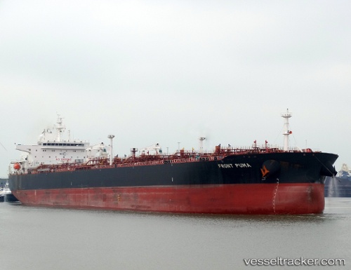
Vessel profile: SFL PUMA is a Crude Oil Tanker with dimensions m x m.
This page combines live AIS, route history, probable destination signals, nearby traffic, and port activity for practical vessel monitoring.
The current position of vessel SFL PUMA is -26.87311 lat / 10.47391 lng. Updated: 2026-05-22 04:18:32 UTCNearest reference points:
- Open sea, approx. 402 nm off the nearest listed port
- Open sea, approx. 405 nm off the nearest listed port
- Open sea, approx. 400 nm off the nearest listed port
Currently sailing under the flag of Marshall Islands ![]()
SFL PUMA built in 2015 year
Deadweight:
99993 tDetails:
Live Vessel SFL PUMA Analytics (details, animations, etc.)
Recent AIS points (UTC):
2026-05-22 01:15:37 UTC · -26.43009, 10.06734 · SOG 11.7 kn · COG 141°2026-05-22 02:09:59 UTC · -26.56521, 10.18918 · SOG 11.3 kn · COG 144°
2026-05-22 04:04:26 UTC · -26.84095, 10.44299 · SOG 10.9 kn · COG 141°
2026-05-22 04:18:32 UTC · -26.87311, 10.47391 · SOG 11 kn · COG 141°