 KINGSBORG
Current Status
Where is the vessel?
KINGSBORG is currently in Near Delfzijl, based on AIS data received about 14h ago.
Latest AIS update:
Current position: 53.32738° N, 6.93441° E (Near Delfzijl)
Average speed (last 7 days): Loading…
Average speed (last 30 days): Loading…
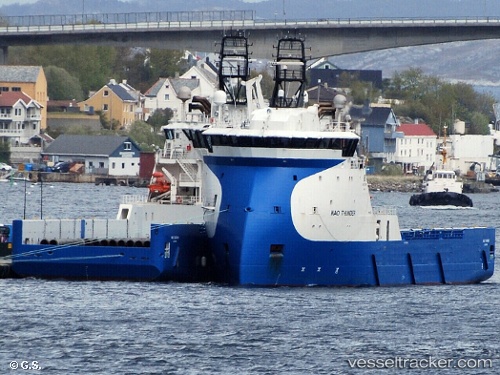
Vessel profile: KINGSBORG is a Offshore Supply Ship with dimensions m x m.
This page combines live AIS, route history, probable destination signals, nearby traffic, and port activity for practical vessel monitoring.
The current position of vessel KINGSBORG is 53.32738 lat / 6.93441 lng. Updated: 2026-05-20 01:07:32 UTCNearest reference points:
- Near APPINGEDAM
- Near Emden
- Near Kolham
Currently sailing under the flag of Netherlands ![]()
Details:
Live Vessel KINGSBORG Analytics (details, animations, etc.)
Recent AIS points (UTC):
2026-05-19 21:40:32 UTC · 53.32740, 6.93440 · SOG 0 kn · COG 183°2026-05-19 22:46:52 UTC · 53.32739, 6.93442 · SOG 0 kn · COG 183°
2026-05-19 23:58:52 UTC · 53.32736, 6.93440 · SOG 0 kn · COG 183°
2026-05-20 01:07:32 UTC · 53.32738, 6.93441 · SOG 0 kn · COG 183°