 WEST HARMONY
Current Status
Where is the vessel?
WEST HARMONY is currently in 22 nm SE of San Luis de Sabinillas, based on AIS data received about 14h ago.
Latest AIS update:
Current position: 36.11698° N, 4.87476° W (22 nm SE of San Luis de Sabinillas)
Average speed (last 7 days): Loading…
Average speed (last 30 days): Loading…
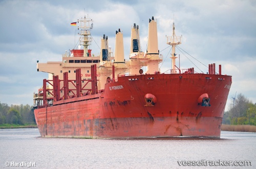
Vessel profile: WEST HARMONY is a Bulk Carrier with dimensions m x m.
This page combines live AIS, route history, probable destination signals, nearby traffic, and port activity for practical vessel monitoring.
The current position of vessel WEST HARMONY is 36.11698 lat / -4.87476 lng. Updated: 2026-05-23 05:34:20 UTCNearest reference points:
- 30 nm E of Ceuta
- Near Nueva Andalucia
- Near Waterport
Currently sailing under the flag of Liberia ![]()
Details:
Live Vessel WEST HARMONY Analytics (details, animations, etc.)
Recent AIS points (UTC):
2026-05-23 01:38:57 UTC · 36.11443, -5.35936 · SOG 0.2 kn · COG -1°2026-05-23 03:47:50 UTC · 36.07770, -5.33023 · SOG 12.2 kn · COG 86°
2026-05-23 04:40:30 UTC · 36.09577, -5.09976 · SOG 12 kn · COG 82°
2026-05-23 05:34:20 UTC · 36.11698, -4.87476 · SOG 12.4 kn · COG 88°