 vesseltracker.com
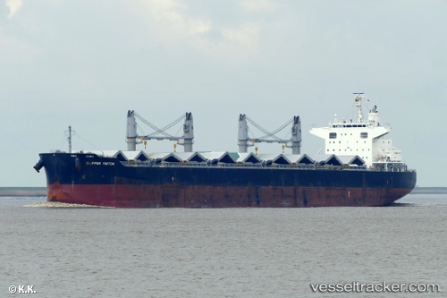
 DARYA ANITA
Current Status
Where is the vessel?
DARYA ANITA is currently in 259 nm N of Anse Kerlan, based on AIS data received about 15h ago.
Latest AIS update:
Current position: 0.18167° S, 56.98333° E (259 nm N of Anse Kerlan)
Average speed (last 7 days): Loading…
Average speed (last 30 days): Loading…
Vessel profile: DARYA ANITA is a Bulk Carrier with dimensions 32m x 200m.
This page combines live AIS, route history, probable destination signals, nearby traffic, and port activity for practical vessel monitoring.
The current position of vessel DARYA ANITA is -0.18167 lat / 56.98333 lng. Updated: 2026-05-18 01:59:51 UTCNearest reference points:
- Open sea, approx. 402 nm off the nearest listed port
- Open sea, approx. 401 nm off the nearest listed port
Currently sailing under the flag of Marshall Islands ![]()
DARYA ANITA built in 2013 year
Deadweight:
61448 tDetails:
Live Vessel DARYA ANITA Analytics (details, animations, etc.)
Recent AIS points (UTC):
2026-05-17 19:53:48 UTC · 0.63333, 57.65833 · SOG 10 kn · COG -1°2026-05-17 22:14:50 UTC · 0.31833, 57.40333 · SOG 10 kn · COG -1°
2026-05-17 22:20:46 UTC · 0.30500, 57.39167 · SOG 10 kn · COG -1°
2026-05-18 01:59:51 UTC · -0.18167, 56.98333 · SOG 10 kn · COG -1°