 MAMA STRENGTH
Current Status
Where is the vessel?
MAMA STRENGTH is currently in Open sea (no nearby ports in database), based on AIS data received about 14h ago.
Latest AIS update:
Current position: 18.80167° S, 3.85667° E (Open sea (no nearby ports in database))
Average speed (last 7 days): Loading…
Average speed (last 30 days): Loading…
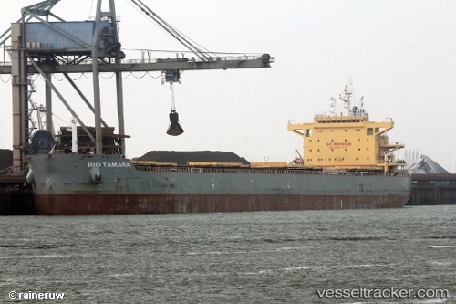
Vessel profile: MAMA STRENGTH is a Bulk Carrier with dimensions 32m x 225m.
This page combines live AIS, route history, probable destination signals, nearby traffic, and port activity for practical vessel monitoring.
The current position of vessel MAMA STRENGTH is -18.80167 lat / 3.85667 lng. Updated: 2026-05-22 21:44:00 UTCNearest reference points:
- Open sea (no nearby ports in database)
Currently sailing under the flag of Marshall Islands ![]()
MAMA STRENGTH built in 2014 year
Deadweight:
75610 tDetails:
Live Vessel MAMA STRENGTH Analytics (details, animations, etc.)
Recent AIS points (UTC):
2026-05-22 17:28:59 UTC · -18.22667, 3.33666 · SOG 10 kn · COG -1°2026-05-22 19:22:59 UTC · -18.48833, 3.56833 · SOG 10 kn · COG -1°
2026-05-22 19:59:20 UTC · -18.57053, 3.64189 · SOG 10.4 kn · COG 142°
2026-05-22 21:44:00 UTC · -18.80167, 3.85667 · SOG 10 kn · COG -1°