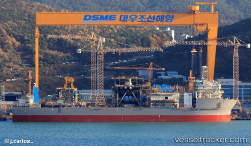
Deepwater Pontus
Current StatusWhere is the vessel?
Deepwater Pontus is currently in 72 nm SE of Port Eads, based on AIS data received about 14h ago.
Latest AIS update:
Current position: 28.38670° N, 88.00056° W (72 nm SE of Port Eads)
Average speed (last 7 days): Loading…
Average speed (last 30 days): Loading…
Vessel profile: Deepwater Pontus is a Drilling Ship with dimensions 42m x 238m.
This page combines live AIS, route history, probable destination signals, nearby traffic, and port activity for practical vessel monitoring.
The current position of vessel Deepwater Pontus is 28.38670 lat / -88.00056 lng. Updated: 2026-05-22 04:39:51 UTCNearest reference points:
- 13 nm NE of Pilottown
- Near Pilottown
- 11 nm NE of Port Sulphur
Details:
Live Vessel Deepwater Pontus Analytics (details, animations, etc.)
Recent AIS points (UTC):
2026-05-22 02:06:28 UTC · 28.38669, -88.00056 · SOG 0 kn · COG -1°2026-05-22 02:06:28 UTC · 28.38669, -88.00056 · SOG 0 kn · COG -1°
2026-05-22 03:51:01 UTC · 28.38670, -88.00056 · SOG 0 kn · COG 155°
2026-05-22 04:39:51 UTC · 28.38670, -88.00056 · SOG 0 kn · COG 155°