 vesseltracker.com
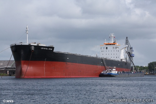
 SEA DESTINY
Current Status
Where is the vessel?
SEA DESTINY is currently in 252 nm W of Luderitz Bay, based on AIS data received about 14h ago.
Latest AIS update:
Current position: 27.97412° S, 10.67017° E (252 nm W of Luderitz Bay)
Average speed (last 7 days): Loading…
Average speed (last 30 days): Loading…
Vessel profile: SEA DESTINY is a Bulk Carrier with dimensions m x m.
This page combines live AIS, route history, probable destination signals, nearby traffic, and port activity for practical vessel monitoring.
The current position of vessel SEA DESTINY is -27.97412 lat / 10.67017 lng. Updated: 2026-05-18 11:54:46 UTCNearest reference points:
- 312 nm SW of Luderitz Bay
- Open sea, approx. 400 nm off the nearest listed port
- Open sea, approx. 401 nm off the nearest listed port
Currently sailing under the flag of Marshall Islands ![]()
Details:
Live Vessel SEA DESTINY Analytics (details, animations, etc.)
Recent AIS points (UTC):
2026-05-18 07:48:15 UTC · -28.52756, 11.24995 · SOG 10.7 kn · COG 318°2026-05-18 09:46:18 UTC · -28.26477, 10.98024 · SOG 10.9 kn · COG 317°
2026-05-18 10:46:58 UTC · -28.12625, 10.83934 · SOG 11.3 kn · COG 315°
2026-05-18 11:54:46 UTC · -27.97412, 10.67017 · SOG 11.3 kn · COG 317°