 JAG AMOL
Current Status
Where is the vessel?
JAG AMOL is currently in Near Aarhus, based on AIS data received about 14h ago.
Latest AIS update:
Current position: 56.14586° N, 10.22271° E (Near Aarhus)
Average speed (last 7 days): Loading…
Average speed (last 30 days): Loading…
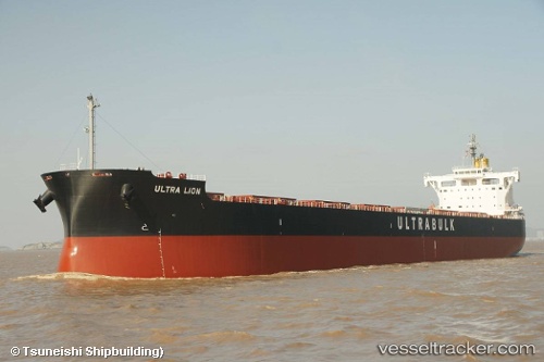
Vessel profile: JAG AMOL is a Cargo with dimensions m x m.
This page combines live AIS, route history, probable destination signals, nearby traffic, and port activity for practical vessel monitoring.
The current position of vessel JAG AMOL is 56.14586 lat / 10.22271 lng. Updated: 2026-05-19 06:02:14 UTCNearest reference points:
- Near Randers
- Near Horsens
- Near Glesborg
Currently sailing under the flag of Marshall Islands ![]()
Details:
Live Vessel JAG AMOL Analytics (details, animations, etc.)
Recent AIS points (UTC):
2026-05-19 01:47:18 UTC · 56.14583, 10.22269 · SOG 0 kn · COG 214°2026-05-19 03:59:15 UTC · 56.14583, 10.22269 · SOG 0 kn · COG 214°
2026-05-19 04:11:12 UTC · 56.14582, 10.22269 · SOG 0 kn · COG 214°
2026-05-19 06:02:14 UTC · 56.14586, 10.22271 · SOG 0 kn · COG 215°