 VELOS ONYX
Current Status
Where is the vessel?
VELOS ONYX is currently in 164 nm SW of Ile Desroches, based on AIS data received about 15h ago.
Latest AIS update:
Current position: 8.13642° S, 52.48085° E (164 nm SW of Ile Desroches)
Average speed (last 7 days): Loading…
Average speed (last 30 days): Loading…
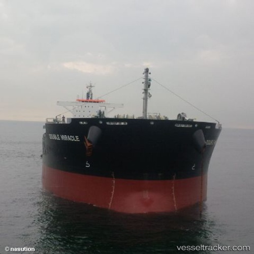
Vessel profile: VELOS ONYX is a Bulk Carrier with dimensions m x m.
This page combines live AIS, route history, probable destination signals, nearby traffic, and port activity for practical vessel monitoring.
The current position of vessel VELOS ONYX is -8.13642 lat / 52.48085 lng. Updated: 2026-05-19 04:20:02 UTCNearest reference points:
- 130 nm S of Ile Desroches
- 118 nm W of Ile Desroches
- 219 nm W of Ile Desroches
Currently sailing under the flag of Marshall Islands ![]()
Details:
Live Vessel VELOS ONYX Analytics (details, animations, etc.)
Recent AIS points (UTC):
2026-05-19 01:16:07 UTC · -8.34827, 51.99497 · SOG 10.3 kn · COG 66°2026-05-19 02:21:14 UTC · -8.28012, 52.17392 · SOG 10.5 kn · COG 67°
2026-05-19 04:01:29 UTC · -8.15703, 52.43310 · SOG 10.1 kn · COG 67°
2026-05-19 04:20:02 UTC · -8.13642, 52.48085 · SOG 10.1 kn · COG 69°