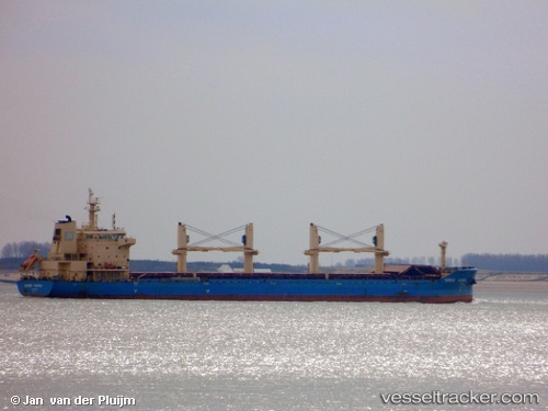
 NORDIC MERCHANTS
Current Status
Where is the vessel?
NORDIC MERCHANTS is currently in 55 nm NE of PUERTO BOLIVAR, based on AIS data received about 15h ago.
Latest AIS update:
Current position: 12.81167° N, 71.21833° W (55 nm NE of PUERTO BOLIVAR)
Average speed (last 7 days): Loading…
Average speed (last 30 days): Loading…
Vessel profile: NORDIC MERCHANTS is a Cargo with dimensions m x m.
This page combines live AIS, route history, probable destination signals, nearby traffic, and port activity for practical vessel monitoring.
The current position of vessel NORDIC MERCHANTS is 12.81167 lat / -71.21833 lng. Updated: 2026-05-20 07:28:46 UTCNearest reference points:
- Near PUERTO BOLIVAR
- 24 nm NW of Palm Beach
- Near Las Piedras
Currently sailing under the flag of Marshall Islands ![]()
Details:
Live Vessel NORDIC MERCHANTS Analytics (details, animations, etc.)
Recent AIS points (UTC):
2026-05-20 04:37:42 UTC · 12.79833, -71.62333 · SOG 8 kn · COG -1°2026-05-20 05:46:43 UTC · 12.80500, -71.45500 · SOG 8 kn · COG -1°
2026-05-20 06:55:43 UTC · 12.80833, -71.29500 · SOG 8 kn · COG -1°
2026-05-20 07:28:46 UTC · 12.81167, -71.21833 · SOG 8 kn · COG -1°