 Mackinac Bridge
Current Status
Where is the vessel?
Mackinac Bridge is currently in 118 nm E of Tan Cang Qui Nhon, based on AIS data received about 14h ago.
Latest AIS update:
Current position: 14.45449° N, 111.72693° E (118 nm E of Tan Cang Qui Nhon)
Average speed (last 7 days): Loading…
Average speed (last 30 days): Loading…
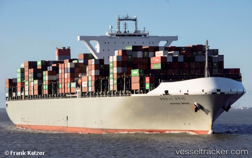
Vessel profile: Mackinac Bridge is a Container Ship with dimensions 366m x 366m.
This page combines live AIS, route history, probable destination signals, nearby traffic, and port activity for practical vessel monitoring.
The current position of vessel Mackinac Bridge is 14.45449 lat / 111.72693 lng. Updated: 2026-05-21 01:49:14 UTCNearest reference points:
- 215 nm NE of Tan Cang Qui Nhon
- 222 nm E of Tan Cang Qui Nhon
- 157 nm SE of Xincun
Currently sailing under the flag of Japan ![]()
Details:
Live Vessel Mackinac Bridge Analytics (details, animations, etc.)
Recent AIS points (UTC):
2026-05-20 18:18:29 UTC · 12.90798, 110.56111 · SOG 15.8 kn · COG 45°2026-05-20 18:18:29 UTC · 12.90798, 110.56111 · SOG 15.8 kn · COG 45°
2026-05-20 18:18:29 UTC · 12.90798, 110.56111 · SOG 15.8 kn · COG 45°
2026-05-21 01:49:14 UTC · 14.45449, 111.72693 · SOG 14.9 kn · COG 48°