 ERMOUPOLIS
Current Status
Where is the vessel?
ERMOUPOLIS is currently in 77 nm SE of Sao Tome and Principe, based on AIS data received about 14h ago.
Latest AIS update:
Current position: 0.74442° S, 7.40782° E (77 nm SE of Sao Tome and Principe)
Average speed (last 7 days): Loading…
Average speed (last 30 days): Loading…
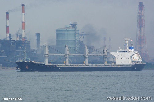
Vessel profile: ERMOUPOLIS is a Cargo with dimensions m x m.
This page combines live AIS, route history, probable destination signals, nearby traffic, and port activity for practical vessel monitoring.
The current position of vessel ERMOUPOLIS is -0.74442 lat / 7.40782 lng. Updated: 2026-05-19 21:33:41 UTCNearest reference points:
- Near Cape Lopez
- Near Port Gentil
Currently sailing under the flag of Liberia ![]()
Details:
Live Vessel ERMOUPOLIS Analytics (details, animations, etc.)
Recent AIS points (UTC):
2026-05-19 17:18:02 UTC · -1.07721, 6.71173 · SOG 10.8 kn · COG 66°2026-05-19 19:26:42 UTC · -0.90765, 7.06333 · SOG 10.7 kn · COG 68°
2026-05-19 19:32:01 UTC · -0.90099, 7.07769 · SOG 10.8 kn · COG 68°
2026-05-19 21:33:41 UTC · -0.74442, 7.40782 · SOG 10.7 kn · COG 69°