 SEAWIND
Current Status
Where is the vessel?
SEAWIND is currently in 17 nm E of MANGGIS, based on AIS data received about 14h ago.
Latest AIS update:
Current position: 8.43847° S, 115.79979° E (17 nm E of MANGGIS)
Average speed (last 7 days): Loading…
Average speed (last 30 days): Loading…
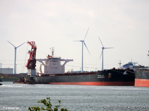
Vessel profile: SEAWIND is a Cargo with dimensions m x m.
This page combines live AIS, route history, probable destination signals, nearby traffic, and port activity for practical vessel monitoring.
The current position of vessel SEAWIND is -8.43847 lat / 115.79979 lng. Updated: 2026-05-20 19:13:43 UTCNearest reference points:
- Near LEMBAR
- 29 nm N of MANGGIS
- Near BENOA
Currently sailing under the flag of Malta ![]()
Details:
Live Vessel SEAWIND Analytics (details, animations, etc.)
Recent AIS points (UTC):
2026-05-20 15:59:53 UTC · -7.83517, 116.13135 · SOG 13.5 kn · COG 205°2026-05-20 16:35:43 UTC · -7.94990, 116.06280 · SOG 13.1 kn · COG 210°
2026-05-20 17:41:34 UTC · -8.15172, 115.94220 · SOG 12.7 kn · COG 213°
2026-05-20 19:13:43 UTC · -8.43847, 115.79979 · SOG 13.7 kn · COG 208°