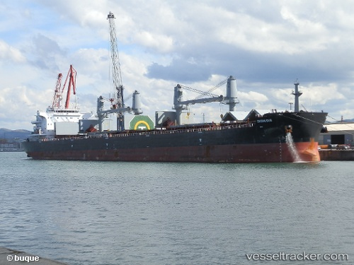
 BCH BRAMBERG
Current Status
Where is the vessel?
BCH BRAMBERG is currently in Near PORTO DO ACU, based on AIS data received about 14h ago.
Latest AIS update:
Current position: 21.85292° S, 41.02005° W (Near PORTO DO ACU)
Average speed (last 7 days): Loading…
Average speed (last 30 days): Loading…
Vessel profile: BCH BRAMBERG is a Cargo with dimensions m x m.
This page combines live AIS, route history, probable destination signals, nearby traffic, and port activity for practical vessel monitoring.
The current position of vessel BCH BRAMBERG is -21.85292 lat / -41.02005 lng. Updated: 2026-05-22 01:08:32 UTCNearest reference points:
- Near PORTO DO ACU
- 24 nm SE of Carapebus
- Near Fluminense FPSO
Currently sailing under the flag of Liberia ![]()
Details:
Live Vessel BCH BRAMBERG Analytics (details, animations, etc.)
Recent AIS points (UTC):
2026-05-21 20:05:29 UTC · -21.84930, -41.00544 · SOG 3.2 kn · COG 241°2026-05-21 21:32:29 UTC · -21.85295, -41.02004 · SOG 0 kn · COG 71°
2026-05-21 22:38:26 UTC · -21.85295, -41.02003 · SOG 0 kn · COG 71°
2026-05-22 01:08:32 UTC · -21.85292, -41.02005 · SOG 0 kn · COG 71°