 vesseltracker.com
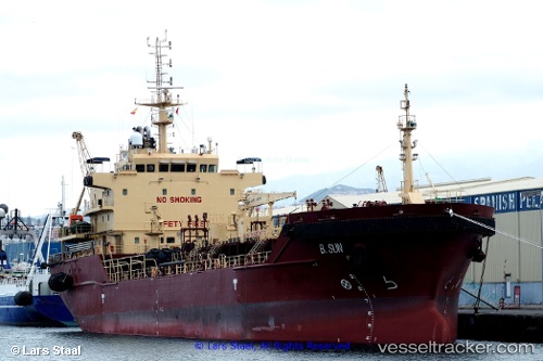
 GAIA
GAIA
Current Status
Where is the vessel?
GAIA is currently in Near Waterport, based on AIS data received about 15h ago.
Latest AIS update:
Current position: 36.13488° N, 5.30370° W (Near Waterport)
Average speed (last 7 days): Loading…
Average speed (last 30 days): Loading…
Vessel profile: GAIA is a Tanker with dimensions m x m.
This page combines live AIS, route history, probable destination signals, nearby traffic, and port activity for practical vessel monitoring.
The current position of vessel GAIA is 36.13488 lat / -5.30370 lng. Updated: 2026-05-18 08:21:47 UTCNearest reference points:
- Near Waterport
- Near La Línea de la Concepción
- Near Palmones
Currently sailing under the flag of Liberia ![]()
Details:
Live Vessel GAIA Analytics (details, animations, etc.)
Recent AIS points (UTC):
2026-05-18 04:51:52 UTC · 36.13484, -5.30339 · SOG 0.2 kn · COG 234°2026-05-18 05:48:47 UTC · 36.13477, -5.30325 · SOG 0.5 kn · COG 222°
2026-05-18 07:21:50 UTC · 36.13480, -5.30334 · SOG 0.3 kn · COG 228°
2026-05-18 08:21:47 UTC · 36.13488, -5.30370 · SOG 0.4 kn · COG 239°