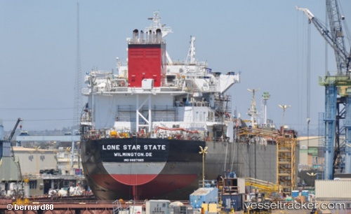
 Lonestar State
Current Status
Where is the vessel?
Lonestar State is currently in Near Port Everglades, based on AIS data received about 15h ago.
Latest AIS update:
Current position: 26.09283° N, 80.12306° W (Near Port Everglades)
Average speed (last 7 days): Loading…
Average speed (last 30 days): Loading…
Vessel profile: Lonestar State is a Chemical Oil Products Tanker with dimensions 186m x 186m.
This page combines live AIS, route history, probable destination signals, nearby traffic, and port activity for practical vessel monitoring.
The current position of vessel Lonestar State is 26.09283 lat / -80.12306 lng. Updated: 2026-05-19 17:43:53 UTCNearest reference points:
- Near Port Everglades
- Near Fort Lauderdale
- Near Dania Beach
Currently sailing under the flag of USA ![]()
Details:
Live Vessel Lonestar State Analytics (details, animations, etc.)
Recent AIS points (UTC):
2026-05-19 13:59:23 UTC · 26.09341, -80.11426 · SOG 4 kn · COG 268°2026-05-19 16:04:54 UTC · 26.09286, -80.12309 · SOG 0 kn · COG 88°
2026-05-19 16:10:53 UTC · 26.09287, -80.12308 · SOG 0 kn · COG 88°
2026-05-19 17:43:53 UTC · 26.09283, -80.12306 · SOG 0.1 kn · COG 88°