 Askeladden
Current Status
Where is the vessel?
Askeladden is currently in Near Kvitebjorn, based on AIS data received about 14h ago.
Latest AIS update:
Current position: 61.09636° N, 2.27318° E (Near Kvitebjorn)
Average speed (last 7 days): Loading…
Average speed (last 30 days): Loading…
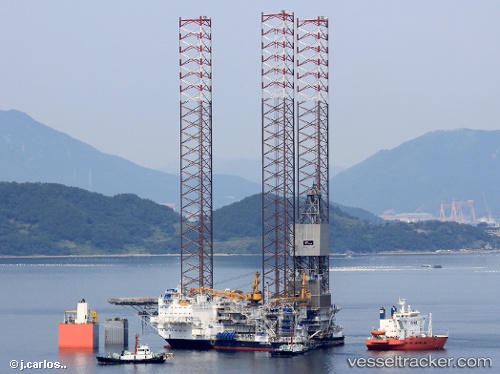
Vessel profile: Askeladden is a Drilling Ship with dimensions 96m x 100m.
This page combines live AIS, route history, probable destination signals, nearby traffic, and port activity for practical vessel monitoring.
The current position of vessel Askeladden is 61.09636 lat / 2.27318 lng. Updated: 2026-05-18 22:57:26 UTCNearest reference points:
- 10 nm N of Leadon
Currently sailing under the flag of Norway ![]()
Details:
Live Vessel Askeladden Analytics (details, animations, etc.)
Recent AIS points (UTC):
2026-05-18 19:12:45 UTC · 61.09634, 2.27317 · SOG 0 kn · COG 242°2026-05-18 20:23:04 UTC · 61.09636, 2.27317 · SOG 0 kn · COG 243°
2026-05-18 21:41:45 UTC · 61.09636, 2.27318 · SOG 0 kn · COG 241°
2026-05-18 22:57:26 UTC · 61.09636, 2.27318 · SOG 0 kn · COG 242°