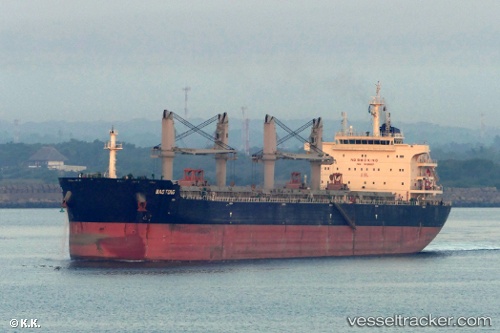
 STAR HAMBURG
Current Status
Where is the vessel?
STAR HAMBURG is currently in 398 nm E of Diego Garcia, based on AIS data received about 14h ago.
Latest AIS update:
Current position: 6.30500° S, 79.07000° E (398 nm E of Diego Garcia)
Average speed (last 7 days): Loading…
Average speed (last 30 days): Loading…
Vessel profile: STAR HAMBURG is a Cargo with dimensions m x m.
This page combines live AIS, route history, probable destination signals, nearby traffic, and port activity for practical vessel monitoring.
The current position of vessel STAR HAMBURG is -6.30500 lat / 79.07000 lng. Updated: 2026-05-20 18:00:22 UTCNearest reference points:
- Open sea, approx. 401 nm off the nearest listed port
- Open sea, approx. 400 nm off the nearest listed port
- Open sea, approx. 402 nm off the nearest listed port
Currently sailing under the flag of Liberia ![]()
Details:
Live Vessel STAR HAMBURG Analytics (details, animations, etc.)
Recent AIS points (UTC):
2026-05-20 13:38:24 UTC · -5.89327, 79.65209 · SOG 9.5 kn · COG 234°2026-05-20 15:33:23 UTC · -6.07833, 79.40500 · SOG 9 kn · COG -1°
2026-05-20 16:45:19 UTC · -6.18833, 79.24333 · SOG 9 kn · COG -1°
2026-05-20 18:00:22 UTC · -6.30500, 79.07000 · SOG 10 kn · COG -1°