 KEDARNATH
Current Status
Where is the vessel?
KEDARNATH is currently in 120 nm S of Gulfmex Lightering Area, based on AIS data received about 15h ago.
Latest AIS update:
Current position: 25.77010° N, 90.50921° W (120 nm S of Gulfmex Lightering Area)
Average speed (last 7 days): Loading…
Average speed (last 30 days): Loading…
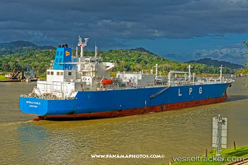
Vessel profile: KEDARNATH is a Tanker with dimensions m x m.
This page combines live AIS, route history, probable destination signals, nearby traffic, and port activity for practical vessel monitoring.
The current position of vessel KEDARNATH is 25.77010 lat / -90.50921 lng. Updated: 2026-05-19 05:33:48 UTCNearest reference points:
- 94 nm S of Gulfmex Lightering Area
- 124 nm SW of Gulfmex Lightering Area
- 83 nm W of Gulfmex Lightering Area
Currently sailing under the flag of Marshall Islands ![]()
Details:
Live Vessel KEDARNATH Analytics (details, animations, etc.)
Recent AIS points (UTC):
2026-05-19 01:51:50 UTC · 26.35340, -91.23724 · SOG 13.9 kn · COG 144°2026-05-19 04:03:22 UTC · 25.99508, -90.82332 · SOG 14.6 kn · COG -1°
2026-05-19 04:22:59 UTC · 25.94426, -90.75273 · SOG 14.9 kn · COG -1°
2026-05-19 05:33:48 UTC · 25.77010, -90.50921 · SOG 13.9 kn · COG -1°