 NITAYA NAREE
Current Status
Where is the vessel?
NITAYA NAREE is currently in Near Hampton Roads, based on AIS data received about 14h ago.
Latest AIS update:
Current position: 36.95126° N, 76.35591° W (Near Hampton Roads)
Average speed (last 7 days): Loading…
Average speed (last 30 days): Loading…
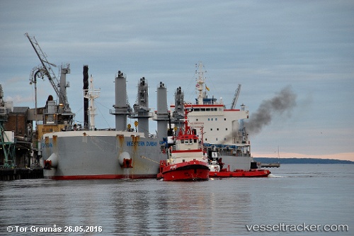
Vessel profile: NITAYA NAREE is a Cargo with dimensions m x m.
This page combines live AIS, route history, probable destination signals, nearby traffic, and port activity for practical vessel monitoring.
The current position of vessel NITAYA NAREE is 36.95126 lat / -76.35591 lng. Updated: 2026-05-21 11:57:32 UTCNearest reference points:
- Near Sewell's Point
- Near Newport News
- Near Hampton Roads Pt
Currently sailing under the flag of Singapore ![]()
Details:
Live Vessel NITAYA NAREE Analytics (details, animations, etc.)
Recent AIS points (UTC):
2026-05-21 08:00:33 UTC · 36.95106, -76.35584 · SOG 0.1 kn · COG 236°2026-05-21 09:33:29 UTC · 36.95139, -76.35613 · SOG 0 kn · COG 218°
2026-05-21 10:42:36 UTC · 36.95130, -76.35614 · SOG 0 kn · COG 236°
2026-05-21 11:57:32 UTC · 36.95126, -76.35591 · SOG 0 kn · COG 233°