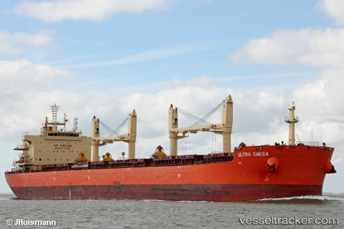
 STEEL C
Current Status
Where is the vessel?
STEEL C is currently in 29 nm S of Maspalomas, based on AIS data received about 15h ago.
Latest AIS update:
Current position: 27.28043° N, 15.43186° W (29 nm S of Maspalomas)
Average speed (last 7 days): Loading…
Average speed (last 30 days): Loading…
Vessel profile: STEEL C is a Cargo with dimensions m x m.
This page combines live AIS, route history, probable destination signals, nearby traffic, and port activity for practical vessel monitoring.
The current position of vessel STEEL C is 27.28043 lat / -15.43186 lng. Updated: 2026-05-18 20:22:38 UTCNearest reference points:
- Near TALIARTE
- 33 nm SE of San Agustin
- Near Las Palmas de Gran Canaria
Currently sailing under the flag of Liberia ![]()
Details:
Live Vessel STEEL C Analytics (details, animations, etc.)
Recent AIS points (UTC):
2026-05-18 17:58:15 UTC · 27.76946, -15.25302 · SOG 13.4 kn · COG 178°2026-05-18 19:40:07 UTC · 27.41893, -15.36062 · SOG 13.1 kn · COG 205°
2026-05-18 19:57:07 UTC · 27.36357, -15.38977 · SOG 12.8 kn · COG 205°
2026-05-18 20:22:38 UTC · 27.28043, -15.43186 · SOG 12.7 kn · COG 205°