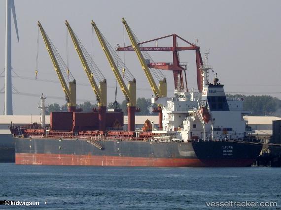
 LAURA
LAURA
Current Status
Where is the vessel?
LAURA is currently in 37 nm W of Roopa, based on AIS data received about 14h ago.
Latest AIS update:
Current position: 58.25673° N, 20.68549° E (37 nm W of Roopa)
Average speed (last 7 days): Loading…
Average speed (last 30 days): Loading…
Vessel profile: LAURA is a Cargo with dimensions m x m.
This page combines live AIS, route history, probable destination signals, nearby traffic, and port activity for practical vessel monitoring.
The current position of vessel LAURA is 58.25673 lat / 20.68549 lng. Updated: 2026-05-19 03:49:58 UTCNearest reference points:
- 37 nm W of Vikati Sadam
- 18 nm N of Ventspils
- 11 nm N of Ventspils
Currently sailing under the flag of Liberia ![]()
Details:
Live Vessel LAURA Analytics (details, animations, etc.)
Recent AIS points (UTC):
2026-05-18 23:36:05 UTC · 57.57568, 20.00057 · SOG 11.5 kn · COG 25°2026-05-19 01:29:15 UTC · 57.90167, 20.27555 · SOG 11 kn · COG 25°
2026-05-19 01:36:23 UTC · 57.92127, 20.29334 · SOG 10.9 kn · COG 25°
2026-05-19 03:49:58 UTC · 58.25673, 20.68549 · SOG 10.5 kn · COG 32°