 TORM DENISE
Current Status
Where is the vessel?
TORM DENISE is currently in 19 nm SW of ANPING, based on AIS data received about 14h ago.
Latest AIS update:
Current position: 22.82648° N, 119.83652° E (19 nm SW of ANPING)
Average speed (last 7 days): Loading…
Average speed (last 30 days): Loading…
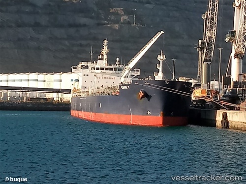
Vessel profile: TORM DENISE is a Tanker with dimensions m x m.
This page combines live AIS, route history, probable destination signals, nearby traffic, and port activity for practical vessel monitoring.
The current position of vessel TORM DENISE is 22.82648 lat / 119.83652 lng. Updated: 2026-05-18 18:12:17 UTCNearest reference points:
- Near YUNG AN
- Near Tso-Ying
- Near ANPING
Currently sailing under the flag of Singapore ![]()
Details:
Live Vessel TORM DENISE Analytics (details, animations, etc.)
Recent AIS points (UTC):
2026-05-18 14:14:47 UTC · 22.04086, 119.64392 · SOG 13.6 kn · COG 25°2026-05-18 16:11:27 UTC · 22.43360, 119.80365 · SOG 13 kn · COG 19°
2026-05-18 16:16:27 UTC · 22.45095, 119.80959 · SOG 13.1 kn · COG 19°
2026-05-18 18:12:17 UTC · 22.82648, 119.83652 · SOG 10.4 kn · COG 4°