 vesseltracker.com
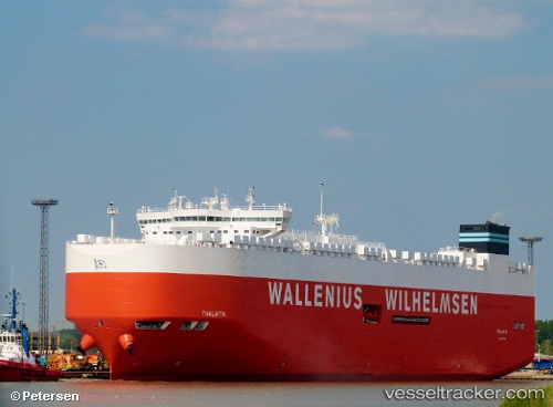
 Thalatta
Current Status
Where is the vessel?
Thalatta is currently in 40 nm NW of Ikitsuki, based on AIS data received about 15h ago.
Latest AIS update:
Current position: 33.69231° N, 128.71567° E (40 nm NW of Ikitsuki)
Average speed (last 7 days): Loading…
Average speed (last 30 days): Loading…
Vessel profile: Thalatta is a Vehicles Carrier with dimensions 200m x 37m.
This page combines live AIS, route history, probable destination signals, nearby traffic, and port activity for practical vessel monitoring.
The current position of vessel Thalatta is 33.69231 lat / 128.71567 lng. Updated: 2026-05-17 23:44:16 UTCNearest reference points:
- 33 nm W of IZUHARA
- 22 nm SE of Kukdo
- 15 nm S of Kukdo
Currently sailing under the flag of Malta ![]()
Details:
Live Vessel Thalatta Analytics (details, animations, etc.)
Recent AIS points (UTC):
2026-05-17 20:16:58 UTC · 32.55182, 128.41505 · SOG 20 kn · COG 3°2026-05-17 21:30:46 UTC · 32.95273, 128.51031 · SOG 20.3 kn · COG 12°
2026-05-17 23:02:23 UTC · 33.46069, 128.66301 · SOG 20.6 kn · COG 19°
2026-05-17 23:44:16 UTC · 33.69231, 128.71567 · SOG 19.5 kn · COG 8°