 SALAHUDDIN
Current Status
Where is the vessel?
SALAHUDDIN is currently in 13 nm SE of Maji Shan, based on AIS data received about 15h ago.
Latest AIS update:
Current position: 30.47026° N, 122.50394° E (13 nm SE of Maji Shan)
Average speed (last 7 days): Loading…
Average speed (last 30 days): Loading…
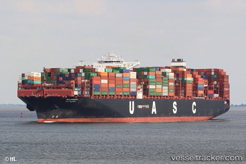
Vessel profile: SALAHUDDIN is a Cargo A with dimensions m x m.
This page combines live AIS, route history, probable destination signals, nearby traffic, and port activity for practical vessel monitoring.
The current position of vessel SALAHUDDIN is 30.47026 lat / 122.50394 lng. Updated: 2026-05-20 07:51:53 UTCNearest reference points:
- 14 nm NE of JINHAI HEAVY INDUSTR
- 10 nm NE of JINHAI HEAVY INDUSTR
- 11 nm N of JINHAI HEAVY INDUSTR
Currently sailing under the flag of Liberia ![]()
Details:
Live Vessel SALAHUDDIN Analytics (details, animations, etc.)
Recent AIS points (UTC):
2026-05-20 04:12:49 UTC · 30.47293, 122.50154 · SOG 0 kn · COG 120°2026-05-20 05:27:49 UTC · 30.47290, 122.50165 · SOG 0.1 kn · COG 105°
2026-05-20 07:48:58 UTC · 30.47030, 122.50384 · SOG 0 kn · COG 308°
2026-05-20 07:51:53 UTC · 30.47026, 122.50394 · SOG 0.1 kn · COG 307°