 vesseltracker.com
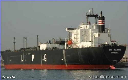
 GAS QUILA
Current Status
Where is the vessel?
GAS QUILA is currently in 210 nm S of Los Cabos, based on AIS data received about 14h ago.
Latest AIS update:
Current position: 19.39564° N, 109.49504° W (210 nm S of Los Cabos)
Average speed (last 7 days): Loading…
Average speed (last 30 days): Loading…
Vessel profile: GAS QUILA is a Tanker with dimensions m x m.
This page combines live AIS, route history, probable destination signals, nearby traffic, and port activity for practical vessel monitoring.
The current position of vessel GAS QUILA is 19.39564 lat / -109.49504 lng. Updated: 2026-05-18 10:12:24 UTCNearest reference points:
- 67 nm S of Los Cabos
Currently sailing under the flag of Indonesia ![]()
Details:
Live Vessel GAS QUILA Analytics (details, animations, etc.)
Recent AIS points (UTC):
2026-05-18 04:21:11 UTC · 20.39998, -110.84378 · SOG 15.7 kn · COG 128°2026-05-18 06:24:25 UTC · 20.05313, -110.37318 · SOG 16.6 kn · COG 129°
2026-05-18 07:58:35 UTC · 19.78368, -110.01222 · SOG 16.8 kn · COG 129°
2026-05-18 10:12:24 UTC · 19.39564, -109.49504 · SOG 16.8 kn · COG 125°