 VELOS LIBRA
Current Status
Where is the vessel?
VELOS LIBRA is currently in 65 nm S of Fairview, based on AIS data received about 14h ago.
Latest AIS update:
Current position: 35.03333° S, 23.75667° E (65 nm S of Fairview)
Average speed (last 7 days): Loading…
Average speed (last 30 days): Loading…
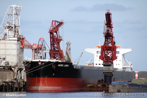
Vessel profile: VELOS LIBRA is a Cargo with dimensions m x m.
This page combines live AIS, route history, probable destination signals, nearby traffic, and port activity for practical vessel monitoring.
The current position of vessel VELOS LIBRA is -35.03333 lat / 23.75667 lng. Updated: 2026-05-22 09:55:34 UTCNearest reference points:
- 37 nm S of Mosselbaai
- 16 nm S of Mosselbaai
- Near Mosselbaai
Currently sailing under the flag of Marshall Islands ![]()
Details:
Live Vessel VELOS LIBRA Analytics (details, animations, etc.)
Recent AIS points (UTC):
2026-05-22 06:20:54 UTC · -35.03871, 23.06134 · SOG 10.4 kn · COG 89°2026-05-22 07:22:56 UTC · -35.03467, 23.27147 · SOG 9.8 kn · COG 90°
2026-05-22 07:58:31 UTC · -35.03333, 23.38833 · SOG 9 kn · COG -1°
2026-05-22 09:55:34 UTC · -35.03333, 23.75667 · SOG 9 kn · COG -1°