 vesseltracker.com
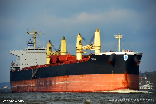
 ANANI
ANANI
Current Status
Where is the vessel?
ANANI is currently in 81 nm N of Kumejima, based on AIS data received about 16h ago.
Latest AIS update:
Current position: 27.70637° N, 126.62877° E (81 nm N of Kumejima)
Average speed (last 7 days): Loading…
Average speed (last 30 days): Loading…
Vessel profile: ANANI is a Bulk Carrier with dimensions 32m x 200m.
This page combines live AIS, route history, probable destination signals, nearby traffic, and port activity for practical vessel monitoring.
The current position of vessel ANANI is 27.70637 lat / 126.62877 lng. Updated: 2026-05-18 11:02:44 UTCNearest reference points:
- 165 nm SE of Lü-hua Shan
- 18 nm W of Koniya
- 129 nm SE of ZHOUSHAN
Currently sailing under the flag of Singapore ![]()
ANANI built in 2015 year
Deadweight:
61631 tDetails:
Live Vessel ANANI Analytics (details, animations, etc.)
Recent AIS points (UTC):
2026-05-18 11:02:44 UTC · 27.70637, 126.62877 · SOG 11.8 kn · COG 244°2026-05-18 11:02:44 UTC · 27.70637, 126.62877 · SOG 11.8 kn · COG 244°
2026-05-18 11:02:44 UTC · 27.70637, 126.62877 · SOG 11.8 kn · COG 244°
2026-05-18 11:02:44 UTC · 27.70637, 126.62877 · SOG 11.8 kn · COG 244°