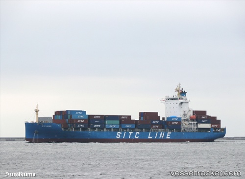
 HMM HARVEST
Current Status
Where is the vessel?
HMM HARVEST is currently in 85 nm SE of Jiazi, based on AIS data received about 15h ago.
Latest AIS update:
Current position: 21.67929° N, 116.88417° E (85 nm SE of Jiazi)
Average speed (last 7 days): Loading…
Average speed (last 30 days): Loading…
Vessel profile: HMM HARVEST is a Cargo with dimensions m x m.
This page combines live AIS, route history, probable destination signals, nearby traffic, and port activity for practical vessel monitoring.
The current position of vessel HMM HARVEST is 21.67929 lat / 116.88417 lng. Updated: 2026-05-21 12:11:33 UTCNearest reference points:
- 64 nm SE of Jiazi
- 53 nm S of Jiazi
- 24 nm SE of Jinghai
Currently sailing under the flag of South Korea ![]()
Details:
Live Vessel HMM HARVEST Analytics (details, animations, etc.)
Recent AIS points (UTC):
2026-05-21 08:05:26 UTC · 22.62316, 117.53391 · SOG 16.5 kn · COG 227°2026-05-21 09:24:38 UTC · 22.28701, 117.38334 · SOG 16.7 kn · COG 223°
2026-05-21 10:11:21 UTC · 22.12234, 117.23083 · SOG 16.8 kn · COG 231°
2026-05-21 12:11:33 UTC · 21.67929, 116.88417 · SOG 16.6 kn · COG 212°