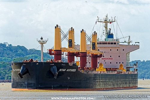
 STAR ANTARES
Current Status
Where is the vessel?
STAR ANTARES is currently in 50 nm S of Fairview, based on AIS data received about 15h ago.
Latest AIS update:
Current position: 34.81689° S, 23.91074° E (50 nm S of Fairview)
Average speed (last 7 days): Loading…
Average speed (last 30 days): Loading…
Vessel profile: STAR ANTARES is a Cargo with dimensions m x m.
This page combines live AIS, route history, probable destination signals, nearby traffic, and port activity for practical vessel monitoring.
The current position of vessel STAR ANTARES is -34.81689 lat / 23.91074 lng. Updated: 2026-05-21 05:26:55 UTCNearest reference points:
- 21 nm S of Mount Pleasant
- 37 nm S of Mosselbaai
- Near Mosselbaai
Currently sailing under the flag of Liberia ![]()
Details:
Live Vessel STAR ANTARES Analytics (details, animations, etc.)
Recent AIS points (UTC):
2026-05-21 02:08:05 UTC · -34.92228, 23.23586 · SOG 10.1 kn · COG 80°2026-05-21 03:54:15 UTC · -34.86771, 23.58620 · SOG 9.9 kn · COG 77°
2026-05-21 04:35:54 UTC · -34.84473, 23.72741 · SOG 10.6 kn · COG 78°
2026-05-21 05:26:55 UTC · -34.81689, 23.91074 · SOG 10.7 kn · COG 81°