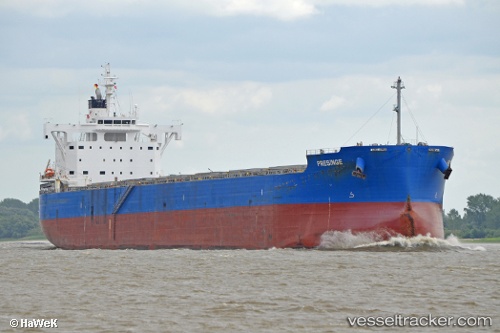
 PRESINGE
Current Status
Where is the vessel?
PRESINGE is currently in 74 nm W of Sanchidrian, based on AIS data received about 15h ago.
Latest AIS update:
Current position: 40.53999° N, 45.39271° W (74 nm W of Sanchidrian)
Average speed (last 7 days): Loading…
Average speed (last 30 days): Loading…
Vessel profile: PRESINGE is a Cargo with dimensions m x m.
This page combines live AIS, route history, probable destination signals, nearby traffic, and port activity for practical vessel monitoring.
The current position of vessel PRESINGE is 40.53999 lat / -45.39271 lng. Updated: 2026-05-19 11:30:59 UTCCurrently sailing under the flag of Marshall Islands ![]()
Details:
Live Vessel PRESINGE Analytics (details, animations, etc.)
Recent AIS points (UTC):
2026-05-19 08:10:37 UTC · 40.51907, -46.15228 · SOG 10.5 kn · COG 88°2026-05-19 09:23:46 UTC · 40.51946, -45.87026 · SOG 10.6 kn · COG 90°
2026-05-19 10:45:06 UTC · 40.53683, -45.56202 · SOG 10.2 kn · COG 87°
2026-05-19 11:30:59 UTC · 40.53999, -45.39271 · SOG 10.3 kn · COG 90°