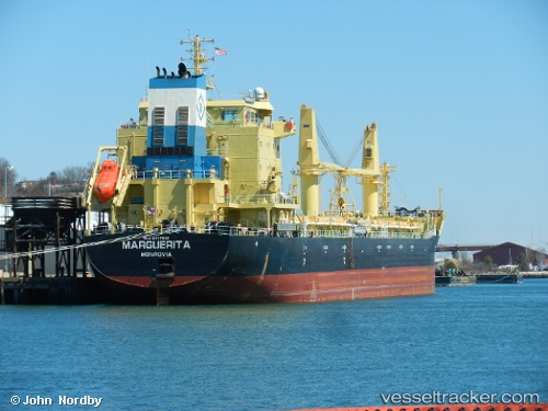
 UBC BARI
Current Status
Where is the vessel?
UBC BARI is currently in 41 nm W of Cape Ray, based on AIS data received about 15h ago.
Latest AIS update:
Current position: 47.60167° N, 60.31333° W (41 nm W of Cape Ray)
Average speed (last 7 days): Loading…
Average speed (last 30 days): Loading…
Vessel profile: UBC BARI is a Cargo with dimensions m x m.
This page combines live AIS, route history, probable destination signals, nearby traffic, and port activity for practical vessel monitoring.
The current position of vessel UBC BARI is 47.60167 lat / -60.31333 lng. Updated: 2026-05-19 07:29:20 UTCNearest reference points:
- Near Corner Brook
- Near Goldboro
Details:
Live Vessel UBC BARI Analytics (details, animations, etc.)
Recent AIS points (UTC):
2026-05-19 04:07:30 UTC · 47.18907, -59.92349 · SOG 13.3 kn · COG 323°2026-05-19 05:35:18 UTC · 47.37667, -60.11667 · SOG 8 kn · COG -1°
2026-05-19 07:20:20 UTC · 47.59167, -60.30500 · SOG 4 kn · COG -1°
2026-05-19 07:29:20 UTC · 47.60167, -60.31333 · SOG 3 kn · COG -1°