 vesseltracker.com
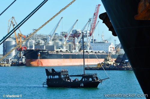
 Tomini Harmony
Current Status
Where is the vessel?
Tomini Harmony is currently in 35 nm E of Strå, based on AIS data received about 15h ago.
Latest AIS update:
Current position: 57.77457° N, 20.08579° E (35 nm E of Strå)
Average speed (last 7 days): Loading…
Average speed (last 30 days): Loading…
Vessel profile: Tomini Harmony is a Bulk Carrier with dimensions 199m x 32m.
This page combines live AIS, route history, probable destination signals, nearby traffic, and port activity for practical vessel monitoring.
The current position of vessel Tomini Harmony is 57.77457 lat / 20.08579 lng. Updated: 2026-05-18 02:18:30 UTCNearest reference points:
- 37 nm W of Vikati Sadam
- Near Ventspils
- 11 nm N of Ventspils
Currently sailing under the flag of Marshall Is ![]()
Details:
Live Vessel Tomini Harmony Analytics (details, animations, etc.)
Recent AIS points (UTC):
2026-05-17 23:05:58 UTC · 58.33497, 20.65024 · SOG 12.1 kn · COG 206°2026-05-17 23:40:48 UTC · 58.23422, 20.53895 · SOG 12 kn · COG 207°
2026-05-18 02:18:09 UTC · 57.77556, 20.08667 · SOG 11.9 kn · COG 202°
2026-05-18 02:18:30 UTC · 57.77457, 20.08579 · SOG 11.8 kn · COG 202°