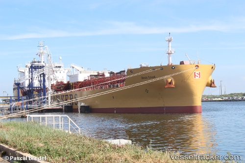
 STOLT LIND
Current Status
Where is the vessel?
STOLT LIND is currently in 39 nm SE of Kwadukuza, based on AIS data received about 14h ago.
Latest AIS update:
Current position: 29.58187° S, 31.97735° E (39 nm SE of Kwadukuza)
Average speed (last 7 days): Loading…
Average speed (last 30 days): Loading…
Vessel profile: STOLT LIND is a Chemical/Oil Products Tanker with dimensions 28m x 185m.
This page combines live AIS, route history, probable destination signals, nearby traffic, and port activity for practical vessel monitoring.
The current position of vessel STOLT LIND is -29.58187 lat / 31.97735 lng. Updated: 2026-05-19 03:49:58 UTCNearest reference points:
- Near Umhlanga Rocks
- Near Durban
- Near Island View
Currently sailing under the flag of Portugal (MAR) ![]()
STOLT LIND built in 2017 year
Deadweight:
32821 tDetails:
Live Vessel STOLT LIND Analytics (details, animations, etc.)
Recent AIS points (UTC):
2026-05-18 23:36:46 UTC · -29.82057, 31.23032 · SOG 10.8 kn · COG 78°2026-05-19 01:30:48 UTC · -29.76037, 31.62305 · SOG 10.6 kn · COG 59°
2026-05-19 01:36:47 UTC · -29.75258, 31.64055 · SOG 10.1 kn · COG 56°
2026-05-19 03:49:58 UTC · -29.58187, 31.97735 · SOG 8.9 kn · COG 56°