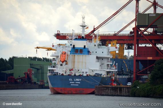
 CL LINDY
Current Status
Where is the vessel?
CL LINDY is currently in 42 nm S of Aquiraz, based on AIS data received about 14h ago.
Latest AIS update:
Current position: 4.56333° S, 28.51667° W (42 nm S of Aquiraz)
Average speed (last 7 days): Loading…
Average speed (last 30 days): Loading…
Vessel profile: CL LINDY is a Cargo with dimensions m x m.
This page combines live AIS, route history, probable destination signals, nearby traffic, and port activity for practical vessel monitoring.
The current position of vessel CL LINDY is -4.56333 lat / -28.51667 lng. Updated: 2026-05-19 12:12:55 UTCCurrently sailing under the flag of Liberia ![]()
Details:
Live Vessel CL LINDY Analytics (details, animations, etc.)
Recent AIS points (UTC):
2026-05-19 07:45:54 UTC · -3.92167, -28.10667 · SOG 10 kn · COG -1°2026-05-19 09:54:33 UTC · -4.23382, -28.31988 · SOG 10 kn · COG 201°
2026-05-19 10:43:00 UTC · -4.34800, -28.39155 · SOG 9.8 kn · COG 199°
2026-05-19 12:12:55 UTC · -4.56333, -28.51667 · SOG 10 kn · COG -1°