 MINERAL YOURI
Current Status
Where is the vessel?
MINERAL YOURI is currently in 222 nm NE of Gigmoto, Catanduanes, based on AIS data received about 14h ago.
Latest AIS update:
Current position: 16.73164° N, 126.68599° E (222 nm NE of Gigmoto, Catanduanes)
Average speed (last 7 days): Loading…
Average speed (last 30 days): Loading…
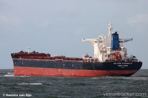
Vessel profile: MINERAL YOURI is a Cargo with dimensions m x m.
This page combines live AIS, route history, probable destination signals, nearby traffic, and port activity for practical vessel monitoring.
The current position of vessel MINERAL YOURI is 16.73164 lat / 126.68599 lng. Updated: 2026-05-21 13:53:37 UTCNearest reference points:
- 281 nm E of Gigmoto, Catanduanes
- 40 nm N of Gigmoto, Catanduanes
Currently sailing under the flag of Belgium ![]()
Details:
Live Vessel MINERAL YOURI Analytics (details, animations, etc.)
Recent AIS points (UTC):
2026-05-21 09:57:45 UTC · 17.38085, 126.61866 · SOG 9.9 kn · COG 170°2026-05-21 11:38:24 UTC · 17.10567, 126.64742 · SOG 9.8 kn · COG -1°
2026-05-21 13:18:33 UTC · 16.83094, 126.67489 · SOG 10.1 kn · COG -1°
2026-05-21 13:53:37 UTC · 16.73164, 126.68599 · SOG 10.3 kn · COG -1°