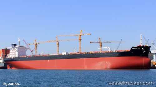
Taharoa Eos
Current StatusWhere is the vessel?
Taharoa Eos is currently in 233 nm S of Ile des Pins, based on AIS data received about 15h ago.
Latest AIS update:
Current position: 26.37622° S, 166.54889° E (233 nm S of Ile des Pins)
Average speed (last 7 days): Loading…
Average speed (last 30 days): Loading…
Vessel profile: Taharoa Eos is a Ore Carrier with dimensions 45m x 290m.
This page combines live AIS, route history, probable destination signals, nearby traffic, and port activity for practical vessel monitoring.
The current position of vessel Taharoa Eos is -26.37622 lat / 166.54889 lng. Updated: 2026-05-18 22:19:44 UTCNearest reference points:
- Open sea, approx. 404 nm off the nearest listed port
Details:
Live Vessel Taharoa Eos Analytics (details, animations, etc.)
Recent AIS points (UTC):
2026-05-18 19:25:05 UTC · -26.82110, 166.84029 · SOG 10.6 kn · COG 329°2026-05-18 19:58:07 UTC · -26.73719, 166.78433 · SOG 10.5 kn · COG 328°
2026-05-18 22:14:22 UTC · -26.38833, 166.55667 · SOG 10 kn · COG -1°
2026-05-18 22:19:44 UTC · -26.37622, 166.54889 · SOG 10.4 kn · COG 329°