 vesseltracker.com
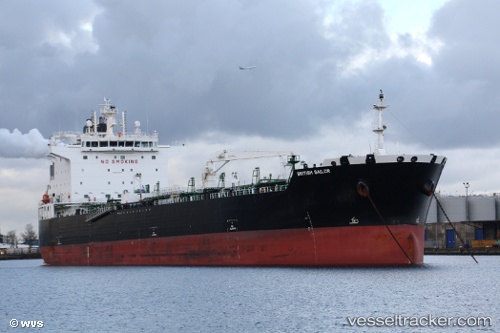
 PANTHERLIGHT
Current Status
Where is the vessel?
PANTHERLIGHT is currently in 33 nm E of Slite, based on AIS data received about 14h ago.
Latest AIS update:
Current position: 57.61314° N, 19.91919° E (33 nm E of Slite)
Average speed (last 7 days): Loading…
Average speed (last 30 days): Loading…
Vessel profile: PANTHERLIGHT is a Tanker with dimensions m x m.
This page combines live AIS, route history, probable destination signals, nearby traffic, and port activity for practical vessel monitoring.
The current position of vessel PANTHERLIGHT is 57.61314 lat / 19.91919 lng. Updated: 2026-05-17 20:07:54 UTCNearest reference points:
- 37 nm W of Vikati Sadam
- Near Ventspils
- 11 nm N of Ventspils
Currently sailing under the flag of Malta ![]()
Details:
Live Vessel PANTHERLIGHT Analytics (details, animations, etc.)
Recent AIS points (UTC):
2026-05-17 17:57:05 UTC · 58.02571, 20.27353 · SOG 12.8 kn · COG 201°2026-05-17 19:08:23 UTC · 57.79882, 20.08159 · SOG 12 kn · COG 201°
2026-05-17 19:32:54 UTC · 57.72211, 20.01486 · SOG 12.2 kn · COG 200°
2026-05-17 20:07:54 UTC · 57.61314, 19.91919 · SOG 0 kn · COG 200°