 vesseltracker.com
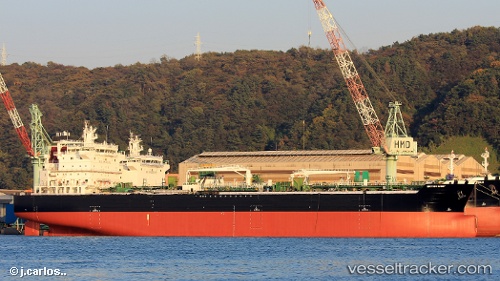
 PEARL LIGHT
Current Status
Where is the vessel?
PEARL LIGHT is currently in Near EL DEKHEILA, based on AIS data received about 14h ago.
Latest AIS update:
Current position: 31.20436° N, 29.73767° E (Near EL DEKHEILA)
Average speed (last 7 days): Loading…
Average speed (last 30 days): Loading…
Vessel profile: PEARL LIGHT is a Tanker with dimensions m x m.
This page combines live AIS, route history, probable destination signals, nearby traffic, and port activity for practical vessel monitoring.
The current position of vessel PEARL LIGHT is 31.20436 lat / 29.73767 lng. Updated: 2026-05-18 02:15:53 UTCNearest reference points:
- Near EL DEKHEILA
- Near Alexandria
- 13 nm W of EL DEKHEILA
Currently sailing under the flag of Malta ![]()
Details:
Live Vessel PEARL LIGHT Analytics (details, animations, etc.)
Recent AIS points (UTC):
2026-05-17 23:03:54 UTC · 31.20391, 29.73726 · SOG 0.2 kn · COG 54°2026-05-17 23:39:57 UTC · 31.20462, 29.73699 · SOG 0.1 kn · COG 86°
2026-05-18 02:15:53 UTC · 31.20436, 29.73767 · SOG 0.1 kn · COG 63°
2026-05-18 02:15:53 UTC · 31.20436, 29.73767 · SOG 0.1 kn · COG 63°