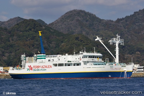
 Ferry Azalea
Current Status
Where is the vessel?
Ferry Azalea is currently in 11 nm W of Toshima/Tokyo, based on AIS data received about 14h ago.
Latest AIS update:
Current position: 34.46014° N, 139.05380° E (11 nm W of Toshima/Tokyo)
Average speed (last 7 days): Loading…
Average speed (last 30 days): Loading…
Vessel profile: Ferry Azalea is a Passenger Ro Ro Cargo Ship with dimensions 64m x 13m.
This page combines live AIS, route history, probable destination signals, nearby traffic, and port activity for practical vessel monitoring.
The current position of vessel Ferry Azalea is 34.46014 lat / 139.05380 lng. Updated: 2026-05-21 01:37:41 UTCNearest reference points:
- 10 nm SE of Iruma
- Near Iruma
- Near Toshima/Tokyo
Currently sailing under the flag of Japan ![]()
Details:
Live Vessel Ferry Azalea Analytics (details, animations, etc.)
Recent AIS points (UTC):
2026-05-19 07:12:35 UTC · 34.64710, 138.94930 · SOG 13.8 kn · COG 332°2026-05-21 00:22:53 UTC · 34.67052, 138.94923 · SOG 0.1 kn · COG 330°
2026-05-21 01:21:59 UTC · 34.51590, 139.02344 · SOG 13.6 kn · COG 156°
2026-05-21 01:37:41 UTC · 34.46014, 139.05380 · SOG 14.1 kn · COG 159°