 vesseltracker.com
 MARAWAH ISLAND
Current Status
Where is the vessel?
MARAWAH ISLAND is currently in 63 nm N of Krueng Geukueh, based on AIS data received about 14h ago.
Latest AIS update:
Current position: 6.25812° N, 96.76603° E (63 nm N of Krueng Geukueh)
Average speed (last 7 days): Loading…
Average speed (last 30 days): Loading…
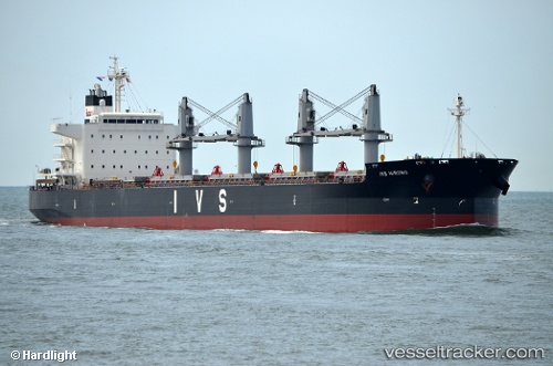
Vessel profile: MARAWAH ISLAND is a Cargo with dimensions m x m.
This page combines live AIS, route history, probable destination signals, nearby traffic, and port activity for practical vessel monitoring.
The current position of vessel MARAWAH ISLAND is 6.25812 lat / 96.76603 lng. Updated: 2026-05-18 08:13:00 UTCNearest reference points:
- 45 nm NE of Krueng Geukueh
- 34 nm N of Langsa Venture FPSO
- 53 nm NE of Sebang
Currently sailing under the flag of Singapore ![]()
Details:
Live Vessel MARAWAH ISLAND Analytics (details, animations, etc.)
Recent AIS points (UTC):
2026-05-18 04:26:50 UTC · 6.07833, 97.45667 · SOG 10 kn · COG -1°2026-05-18 06:05:52 UTC · 6.15333, 97.15167 · SOG 11 kn · COG -1°
2026-05-18 07:30:59 UTC · 6.23023, 96.89230 · SOG 11.3 kn · COG 292°
2026-05-18 08:13:00 UTC · 6.25812, 96.76603 · SOG 10.9 kn · COG 272°