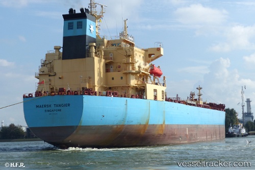
 MAERSK TAHITI
Current Status
Where is the vessel?
MAERSK TAHITI is currently in Near Pasir Panjang Wharves, based on AIS data received about 14h ago.
Latest AIS update:
Current position: 1.21892° N, 103.80223° E (Near Pasir Panjang Wharves)
Average speed (last 7 days): Loading…
Average speed (last 30 days): Loading…
Vessel profile: MAERSK TAHITI is a Tanker with dimensions m x m.
This page combines live AIS, route history, probable destination signals, nearby traffic, and port activity for practical vessel monitoring.
The current position of vessel MAERSK TAHITI is 1.21892 lat / 103.80223 lng. Updated: 2026-05-19 04:06:44 UTCNearest reference points:
- Near Singapore
- Near BUKOM ISLAND
- Near Pasir Panjang Wharves
Currently sailing under the flag of Singapore ![]()
Details:
Live Vessel MAERSK TAHITI Analytics (details, animations, etc.)
Recent AIS points (UTC):
2026-05-19 02:06:13 UTC · 1.21887, 103.80316 · SOG 0.2 kn · COG 85°2026-05-19 02:12:14 UTC · 1.21911, 103.80299 · SOG 0.2 kn · COG 95°
2026-05-19 03:36:13 UTC · 1.21823, 103.80246 · SOG 0.1 kn · COG 57°
2026-05-19 04:06:44 UTC · 1.21892, 103.80223 · SOG 0.1 kn · COG -1°